
Burrow Mump is a hill and historic site overlooking Southlake Moor in the village of Burrowbridge within the English county of Somerset. It is a scheduled monument, with the ruined church on top of the hill a Grade II listed building.
The hill stands at a strategic location overlooking the point where the River Tone and the old course of the River Cary join the River Parrett. Although there is some evidence of Roman visitation, the first fortification of the site was the construction of a Norman motte. It has been called King Alfred’s Fort, however there is no proof of use by Alfred the Great. A medieval church was built on the hill in the 15th century. The current ruined church on top of the hill was built in 1793. The land and ruin were donated to the National Trust in 1946 as a war memorial.


Burrow Mump is also known as St Michael’s Borough or Tutteyate.[4] Both words ‘burrow’ and ‘mump’ mean hill.[5]
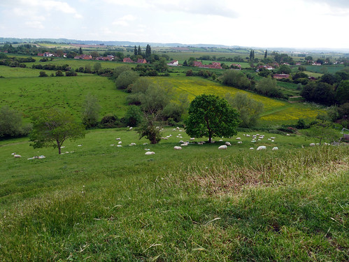

The hill is 24 metres (79 ft) high,[1] and stands at a strategic point where the River Tone and the old course of the River Cary join the River Parrett, above the surrounding low lying land of the Somerset Levels.[2] It is made of Triassic sandstone capped by Keuper marl ascribed to the Mercia Mudstone Group.[2][3]
Information source – Wikipedia


So Burrow Mump is a tautology?
Seems like it is
Fascinating post and place Lovely atmospheric photos too.
Thank you
Looks like quite a hike to get up there.
It is a fairly short walk, but it is very steep. I had to go the long way round as my stride was too short for the eroded part of the path. The path was eroded due to many people walking on the same bit of ground.
looks like a wonderful place for hiking too
i so loved the glimpses
It is, if only I could persuade Mr C to go on a longer walk.